aerial view of green grass field

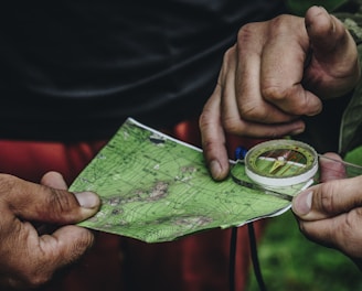
Serviços de Medição e Análise de Terrenos

Precisão e confiabilidade em levantamentos topográficos e georreferenciamento.

Levantamentos Topográficos

Precisão em medições de terrenos e áreas.

Georreferenciamento de áreas com tecnologia moderna.

Demarcação de áreas para construções e projetos.

Nivelamento Técnico
Elaboração de Plantas

Sobre a Vertical Topografia

Especialistas em medição e análise de terrenos, oferecendo serviços de topografia, georreferenciamento e elaboração de plantas técnicas com precisão e confiança para diversos setores.

A surveyor's tripod with a total station is set up on a grassy hill overlooking a sprawling rural area with fields and industrial buildings. The sky is overcast, slightly obscuring the distant horizon, and there is a utility bag on the ground nearby.

150+

+8

Anos de experiência

Terrenos Analisados

Serviços de Topografia

Oferecemos medição e análise de terrenos com precisão e confiabilidade utilizando tecnologia moderna.

Levantamentos Topográficos
Hands are holding a topographic map and a compass. One hand is pointing at a specific location on the map, indicating navigation or orientation. The map is detailed with green shades, representing terrain or elevation.

Realizamos levantamentos precisos para projetos urbanos e rurais com equipamentos modernos.

A close-up of a surveying instrument, specifically a total station, mounted on a tripod. The instrument features an orange cylindrical target with a reflective surface and a black and yellow square backing with a cross pattern. The background is blurred, showing some cars and trees, suggesting an outdoor setting.
A close-up black and white photograph of a detailed topographic map. The map features contour lines, place names, and various markings indicating geographical features. It appears to be held in a hand, positioned at an angle that highlights its texture and intricate details.
Georreferenciamento Eficiente

Georreferenciamos áreas com precisão para garantir segurança em suas construções e propriedades.

Demarcação de áreas pela região norte de Santa Catarina.

Demarcações de áreas

Trabalhando com Precisão

Temos um atendimento de ponta e precisão qualificada para gerar o melhor atendimento e agrimensura para seu terreno

aerial photograph of village eside river
black and white tripod on green grass field during daytime
A grassy field with a row of trees in the background
A surveying instrument mounted on a tall pole stands in the foreground, with a bright blue sky and scattered clouds above. In the background, there are several modern high-rise buildings, indicating an urban area.

Avaliações Clientes

Veja o que nossos clientes dizem sobre nossos serviços de topografia.

A Vertical Topografia superou nossas expectativas com precisão e agilidade nos levantamentos.

João Silva

Bateias de Baixo

Os serviços da Vertical Topografia foram essenciais para o sucesso do nosso projeto. A equipe é muito profissional e os resultados foram entregues no prazo.

Maria Costa

Fragosos

★★★★★
★★★★★

Onde estamos

Endereço

Av. Dr. Getúlio Vargas n 384, sala 01, Centro Campo Alegre SC

Horário de Atendimento

8:00 até as 17:00